

Rhuddlan and Kinmel Bay
Enjoy this flat and easy walk connecting the historic town of Rhuddlan to the coast
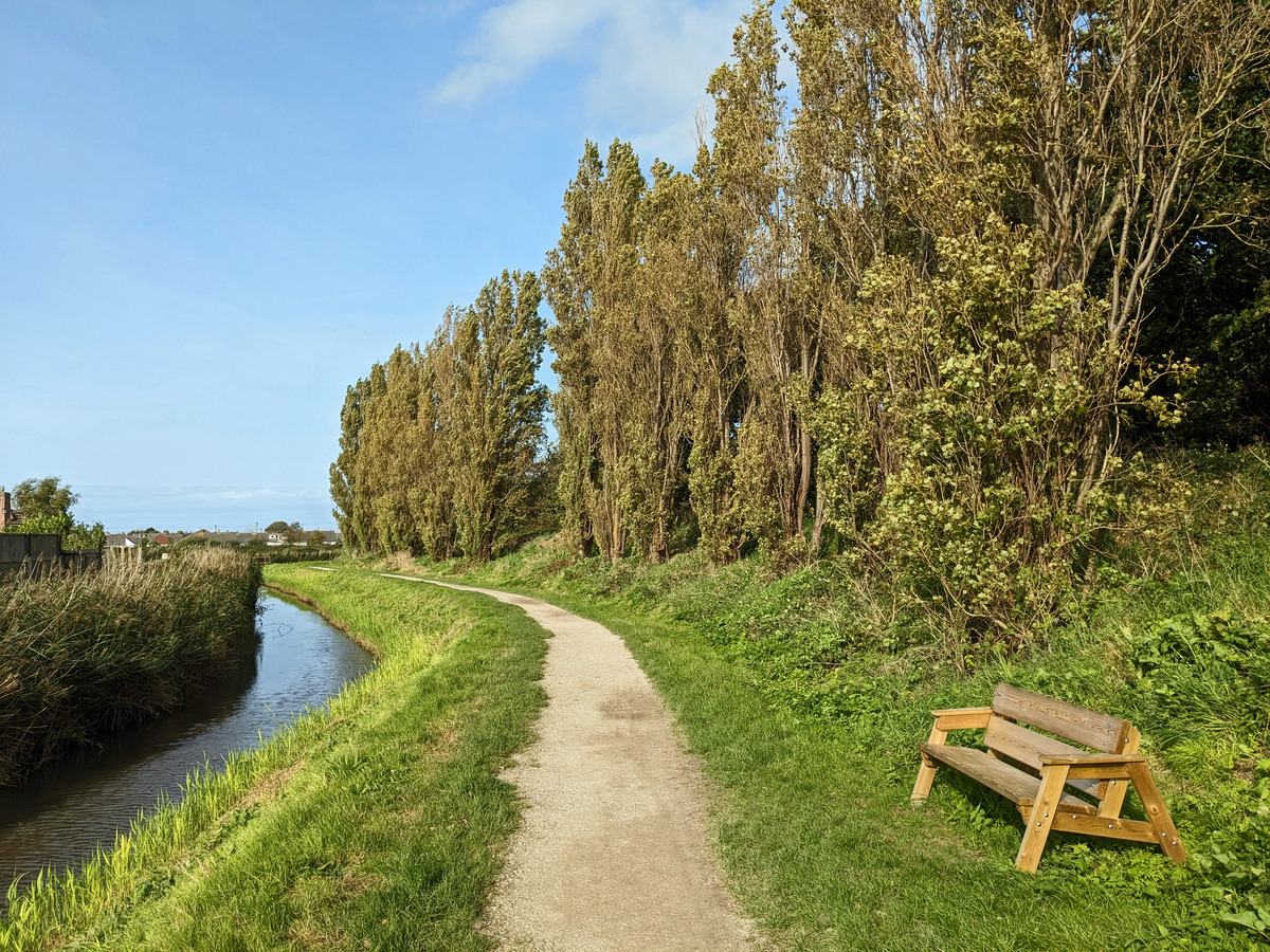
Green space and woodland nestled within the urban sprawl of Prestatyn
Paddy Dillon
Coed y Morfa is a fine green space and woodland entirely enclosed by the urban sprawl of Prestatyn. A walk through it links with a cycle path which in turn links with the Wales Coast Path and the start of the Offa’s Dyke Path to return to Prestatyn.
Distance: 3.6 miles or 5.6km
Start location: Prestatyn Railway Station
Start Grid Ref: SJ 06417 83079
Start What 3 Words: treatable.draining.mint
Parking
Car park at Prestatyn railway station, Parc Prestatyn, Nova Centre, Central Beach and other locations around town.
Bus
Daily bus services link Prestatyn with all points along the coast between Flint and Llandudno.
Train
Daily North Wales Coast train services link Prestatyn with coastal stations between Chester and Holyhead.
The route is marked in dark pink in the image below. The purple flags show the start and finish points of the route. The OS 1:25,000 map extract shows the route starting and finishing in Prestatyn, with a choice at Coed y Morfa, either to follow the Prestatyn Gutter, or short-cut through a woodland, saving 250m of walking.
Two GPX tracks are provided: ‘Coed y Morfa 1’ follows a drain around Coed y Morfa Community Woodland while ‘Coed y Morfa 2’ short-cuts through the woodland, saving 250m of walking.

1. Start at Prestatyn railway station, where the footbridge above the platforms offers good views. Walk towards the town centre, but turn right at a mini roundabout to walk along Bridge Road. Go straight through a crossroads with traffic lights, using a pedestrian crossing. Pass the little bus station and walk along Gas Works Lane, which becomes a narrow concrete road. Keep straight ahead along a tarmac cycleway, avoiding turnings to the left, passing tangled masses of brambles and bindweed. Although this wild area looks extensive, it is entirely confined within Prestatyn.
2. Pass a barrier at the end of a road and keep right of the fenced sports fields of Ysgol Penmorfa. The tarmac path passes a viewing platform overlooking a pool in the Prestatyn Wetland. Belted Galloway cattle are grazed here in the summer to control vegetation growth. Follow the path onwards to reach The Morfa’s Playing Field. A plaque records that this space was developed by the Rotary Club in 1972 and adopted by Prestatyn Urban District Council in 1973.
3. Turn right along a gritty path to pass the sports field, passing another viewing platform for the Prestatyn Wetland. When a triangular path junction is reached, there is a choice of two routes available, with one featuring a waterside walk and the other featuring a walk through a community woodland. Whichever option is chosen, be sure to read the notices alongside the paths, which explain about the abundant wildlife of the area.
3. For the waterside walk, keep straight ahead until the canal-like Prestatyn Gutter is reached. Turn left to walk alongside it, and later turn left again where the path passes a footbridge. The path leads to a road.
For the woodland walk, which saves about 200m, turn left at the triangular junction and follow the most obvious path, which rises and falls gently, avoiding lesser paths to left and right. When the canal-like Prestatyn Gutter is reached, turn left to follow the path to a road. The Prestatyn Gutter was cut to drain an extensive marshland and helps to prevent low-lying Prestatyn from flooding.
4. Turn right along the road, which is Winchester Drive, and turn right again along the busier road of Ffordd Penrhwylfa, signposted as a cycleway to Rhyl. The broad cycleway is shared use, so keep to the right and leave the left-hand side free for cyclists to pass. Later, there is a pavement further to the right that could be followed instead of the cycleway, then the road rises gently over a railway bridge and down the other side, where its name changes to Ceg y Ffordd. Reach a junction with the busy Victoria Road beside The Ffrith pub and use a pedestrian crossing to reach a semi-circular stone wall featuring two gateways.
5. Go through the gateway on the right, which is signposted as a cycleway, and enter Ffrith Park, or y Ffrith. This was developed as a park in 1933, with pleasure gardens protected from the sea by a belt of sand dunes. The gardens closed in 1990 but some open spaces survive. Simply follow the broad tarmac cycleway as it bends left and right, finally passing through a gap in the sand dunes to reach concrete sea defences.
6. The Wales Coast Path runs along the sea defences, linking Prestatyn and Rhyl. The town of Rhyl can be seen to the left, but our route turns right to return to Prestatyn. There is actually a choice of three levels that can be followed, with the lowest one most likely to be covered at high water. The middle level is the broadest and the top level, next to the sand dunes, is likely to be the quietest. Walk until the buildings of the Nova Centre are reached, then turn inland and be sure to spot a towering steel sculpture. This is known as ‘Dechrau a Diwedd’, or ‘Beginning and End’, as it marks the start or finish of the Offa’s Dyke Path national trail. (The Wales Coast Path runs 870 miles / 1400 km from Chester to Chepstow, while the Offa’s Dyke Path offers a ‘short-cut’ of 177 miles / 285km to Chepstow!)
7. Follow Bastion Road straight inland from the Nova Centre. Watch for Offa’s Dyke Path marker disks, fixed high on lamp posts, or set into the pavement underfoot. The road returns directly to the railway station, where likenesses of King Offa of Mercia are etched onto glass panels. Anyone catching a train from the station should look out for the wooden sculpture of ‘Rhodri the Rambler’.
